These pictures are from a six-day hike we did in Switzerland. We hiked 8-10 miles per day while our luggage was transported to the next hotel. The hiking was great although the trails were a bit steeper and rockier (i.e. obstacle courses) than what we have here in Oregon. We left blue summer skies at home to arrive in Switzerland two days before their 2005 flood. But, we got to hike 5 out of the planned 6 days and had a great time!
We used Ryder Walker Alpine Adventures to arrange the trip. They did a great job of finding small hotels in non-tourist towns. The hikes were just the right length and difficulty. We were given good descriptions and maps.
The Engadine Valley is in canton Graubünden in the southeastern portion of Switzerland. The Romansch language is spoken in this part of Switzerland which gives many of the places unusual names.
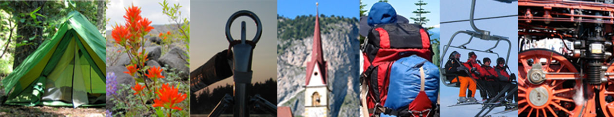
Click on any of the images below for a larger picture and description.
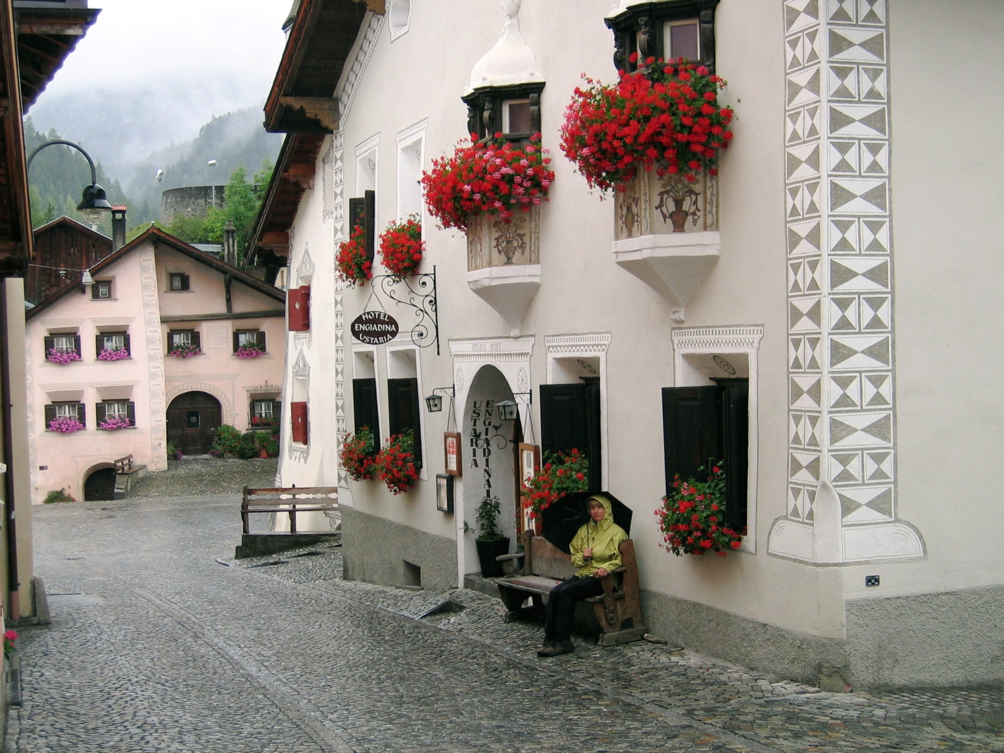
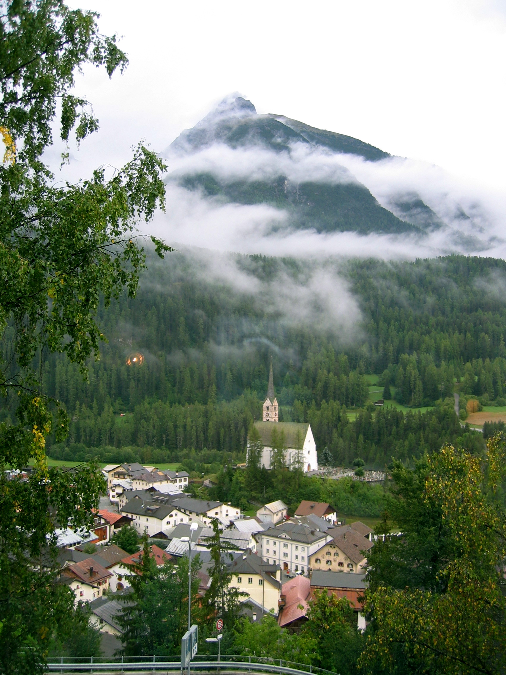
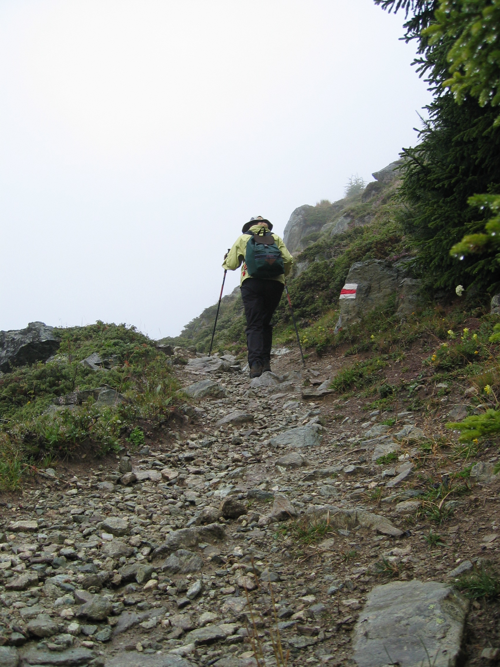
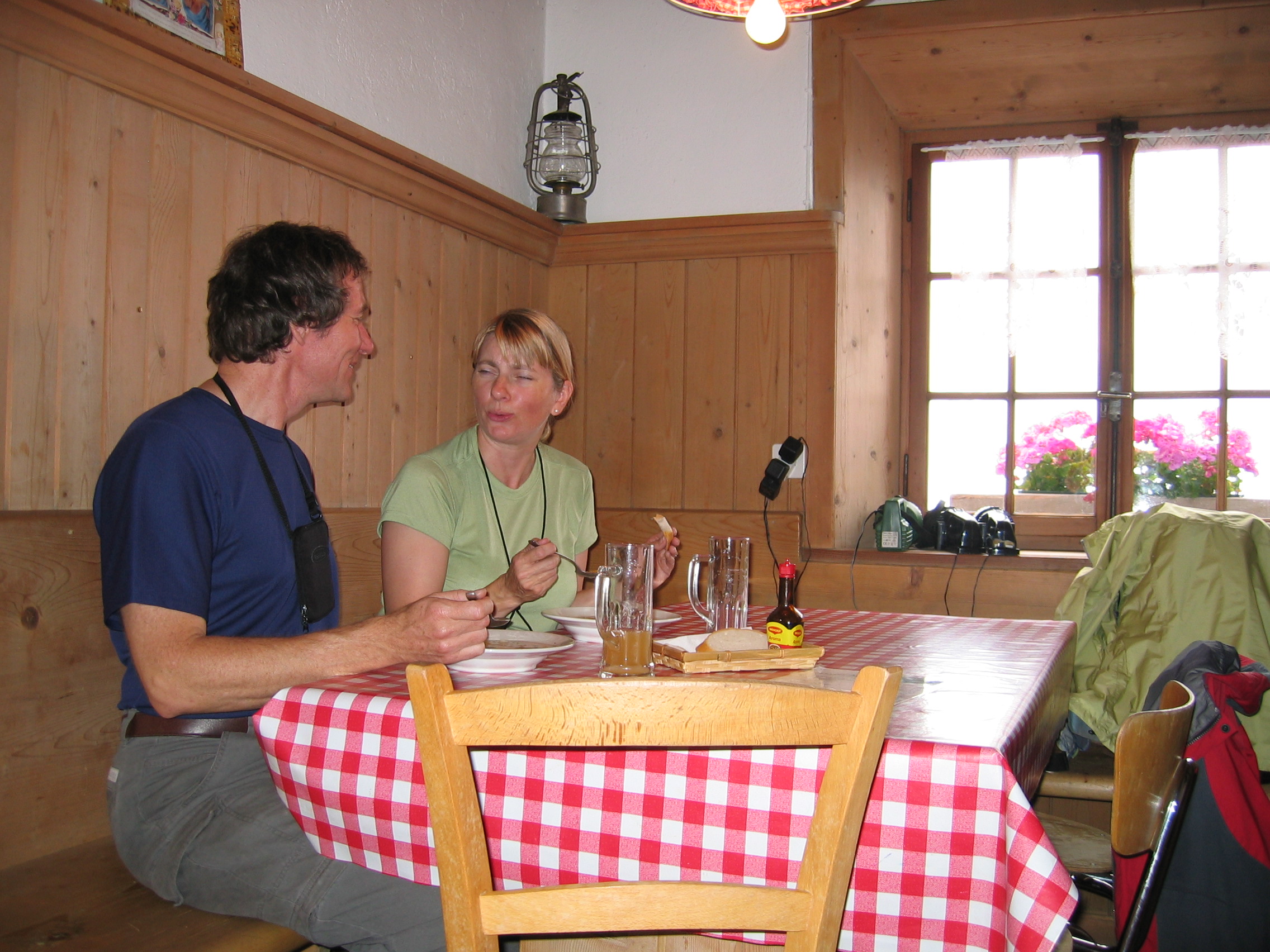
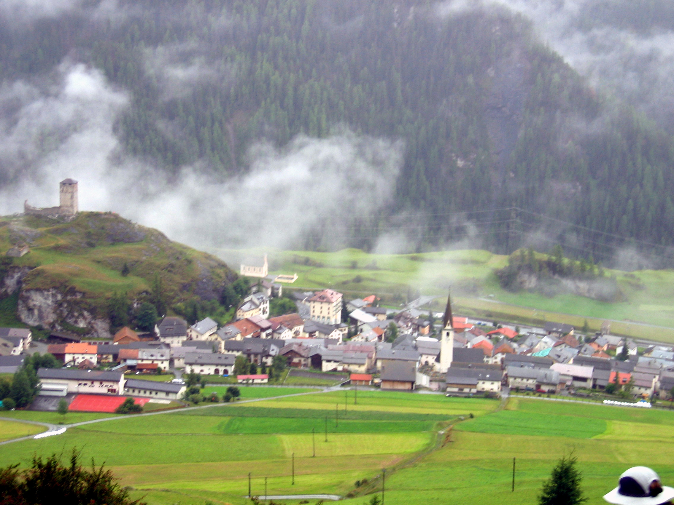
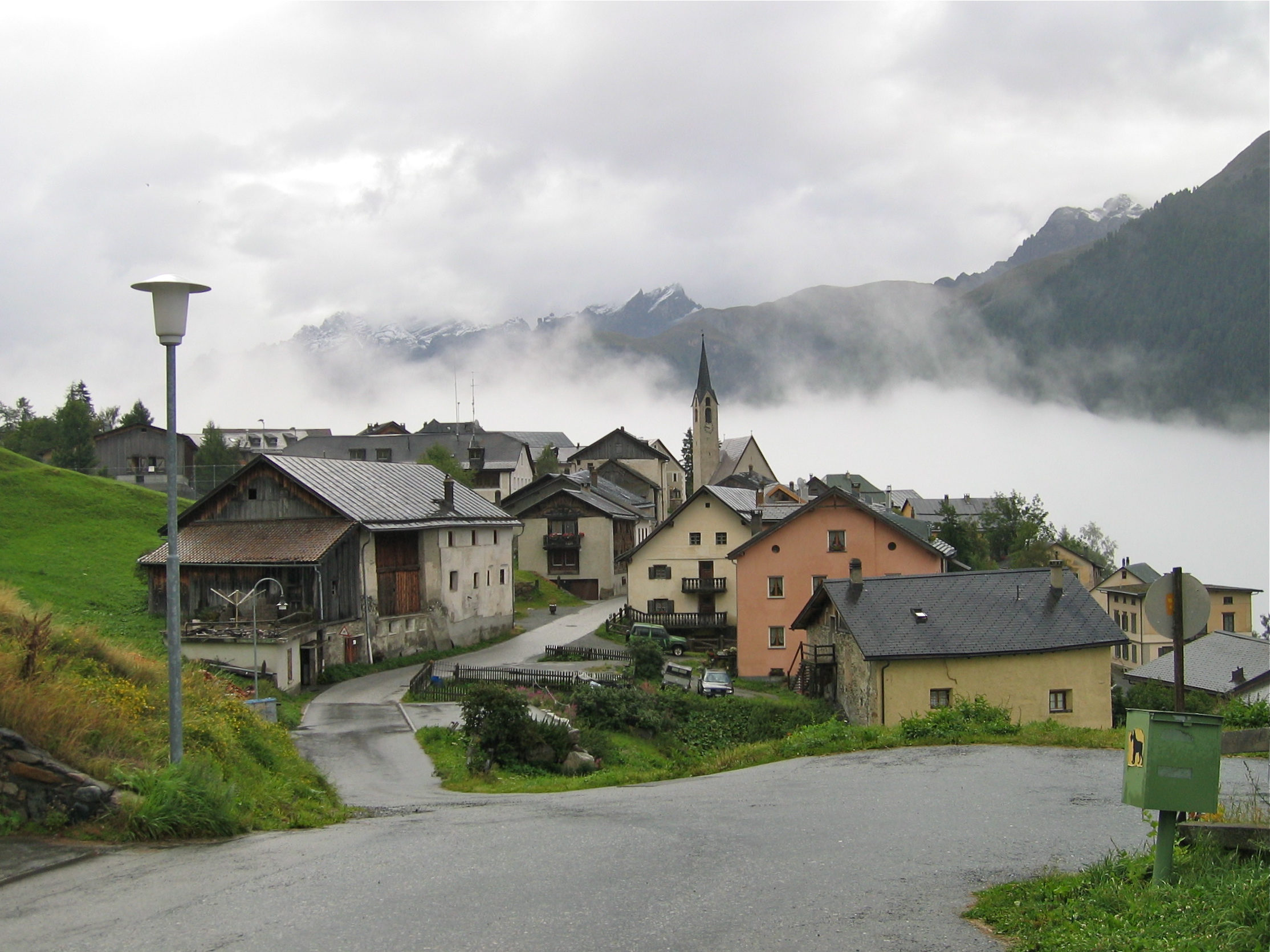
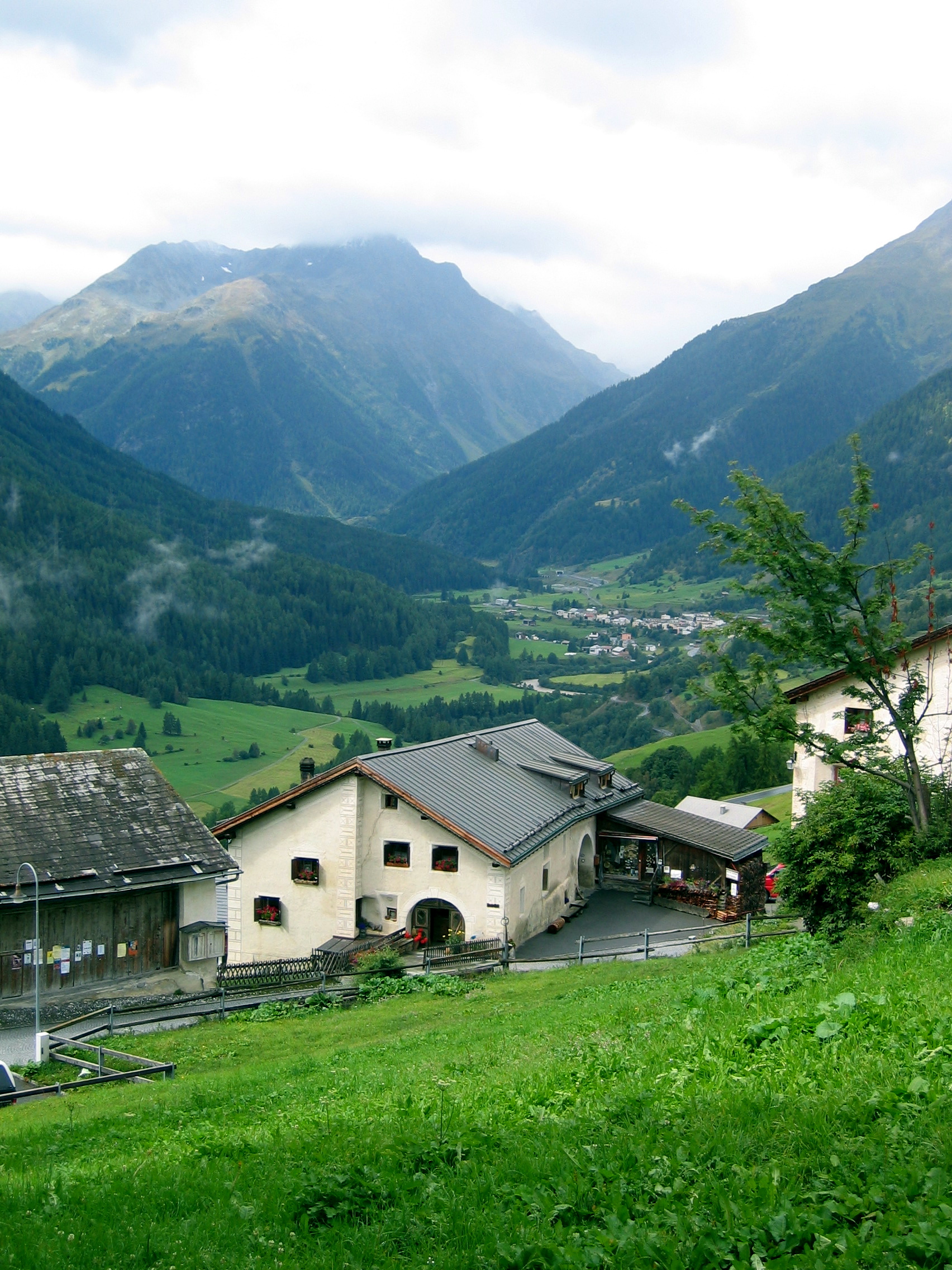
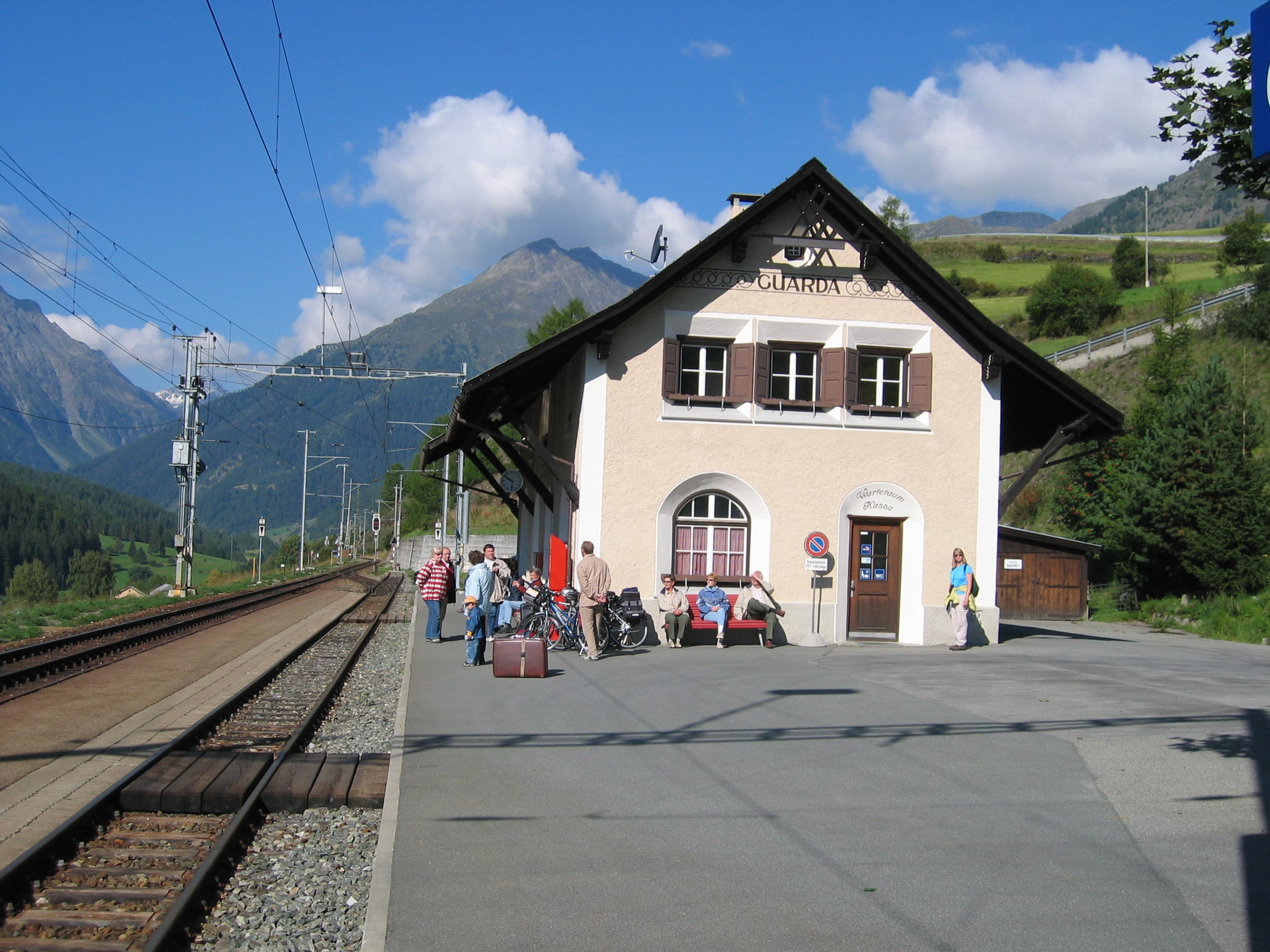
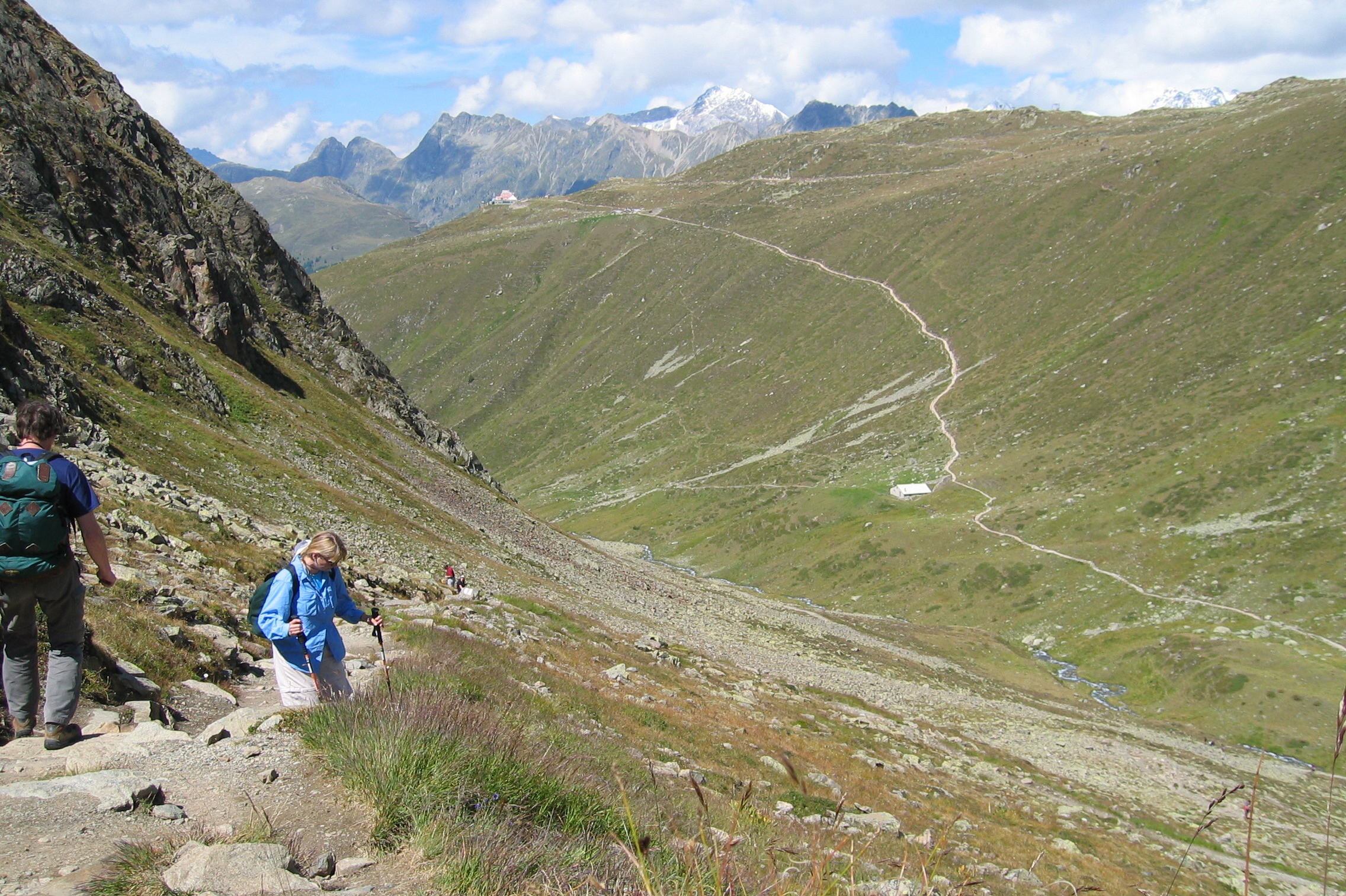
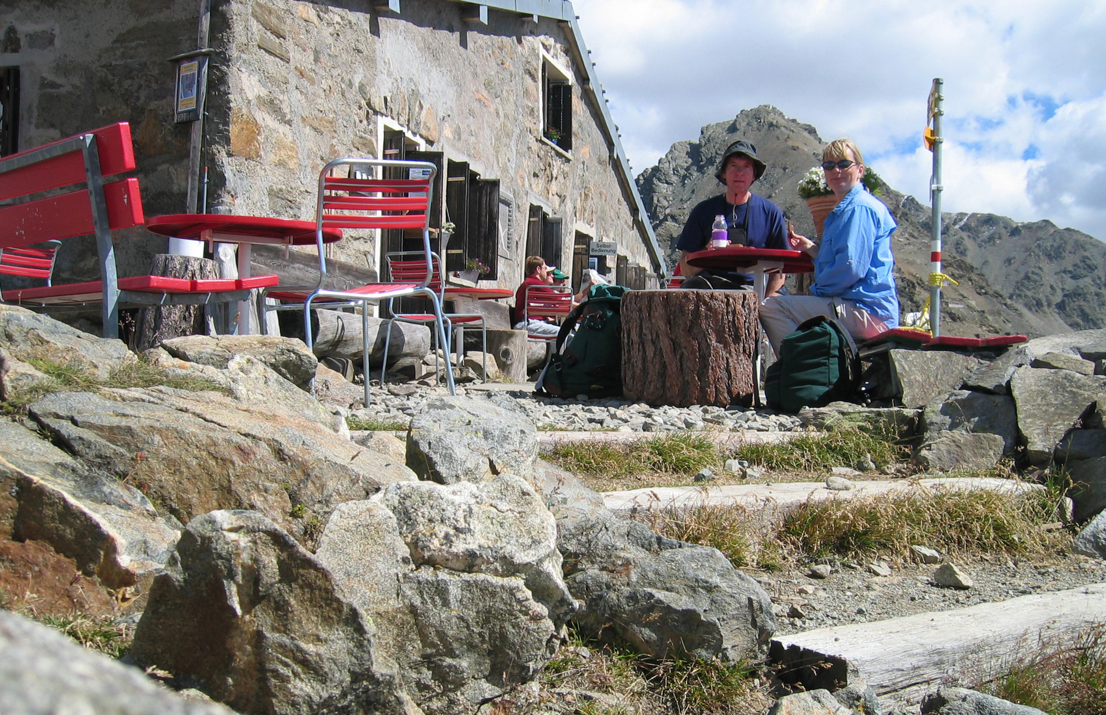
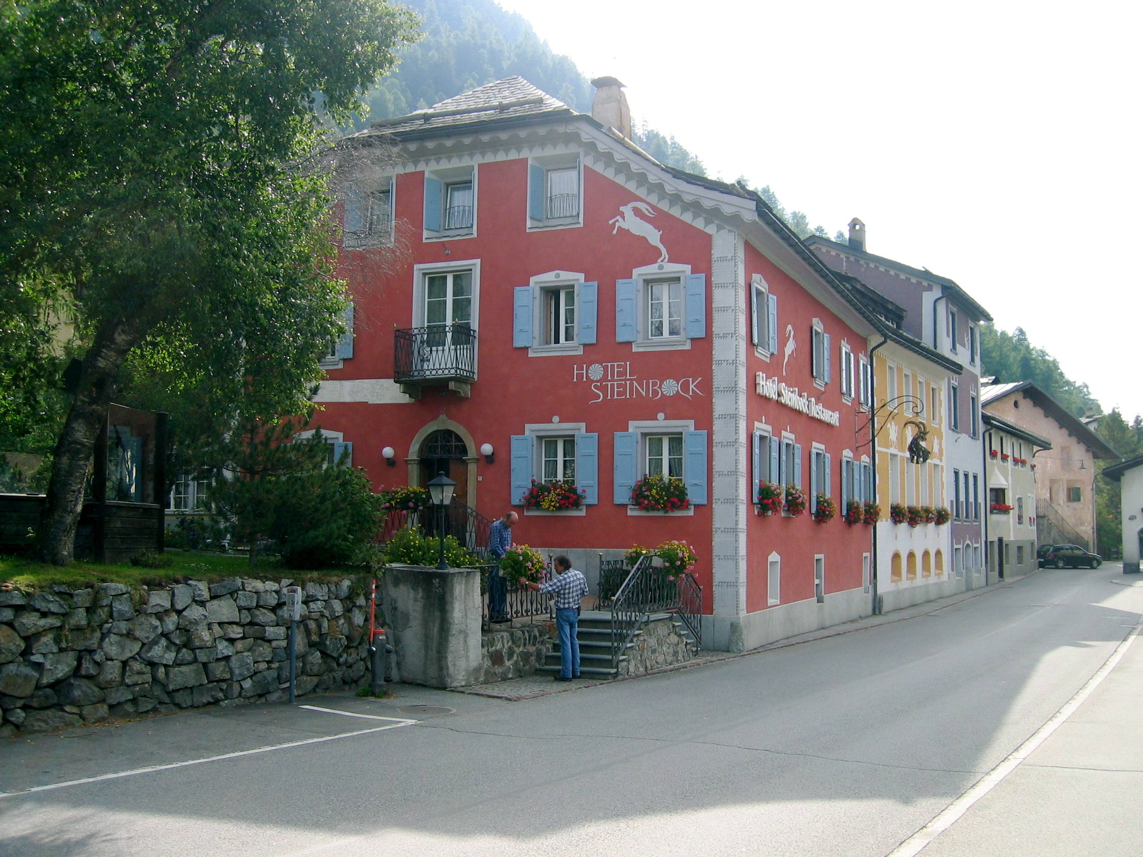
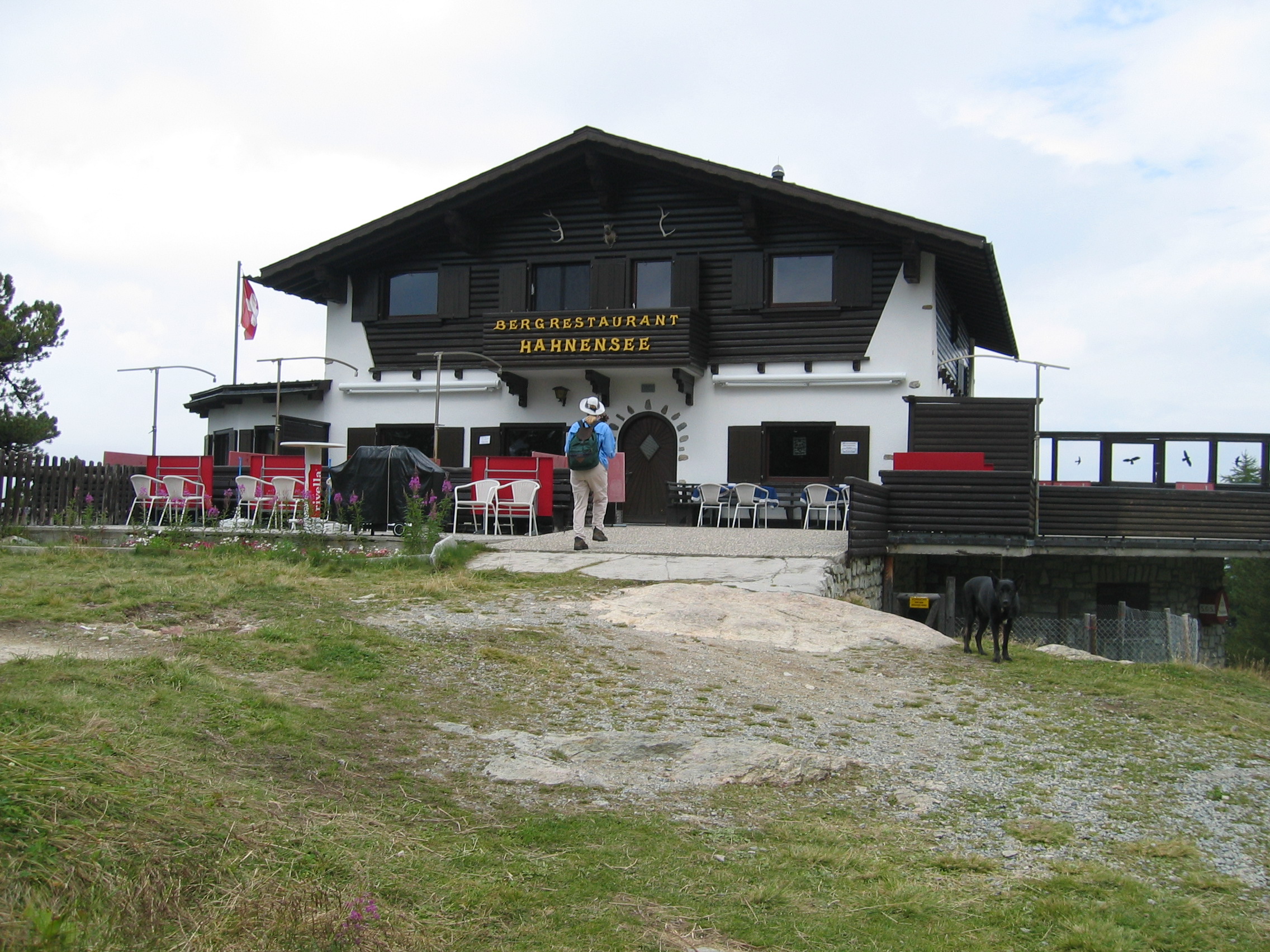
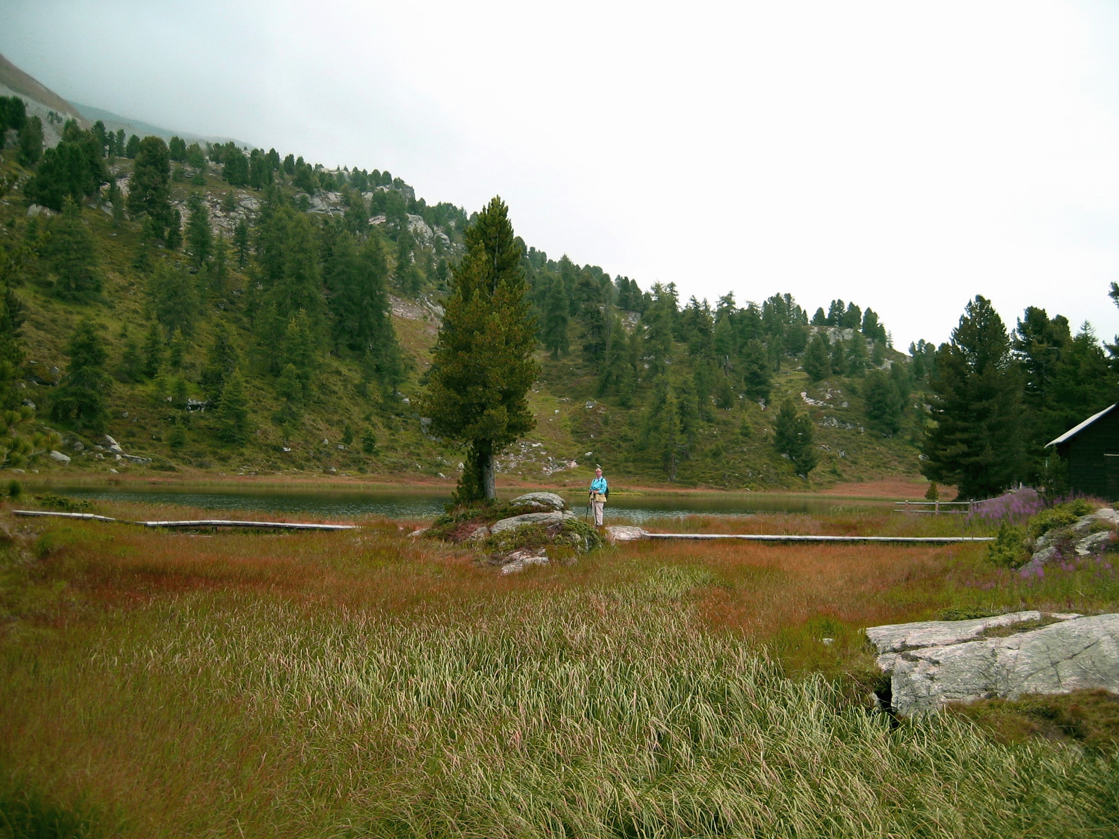
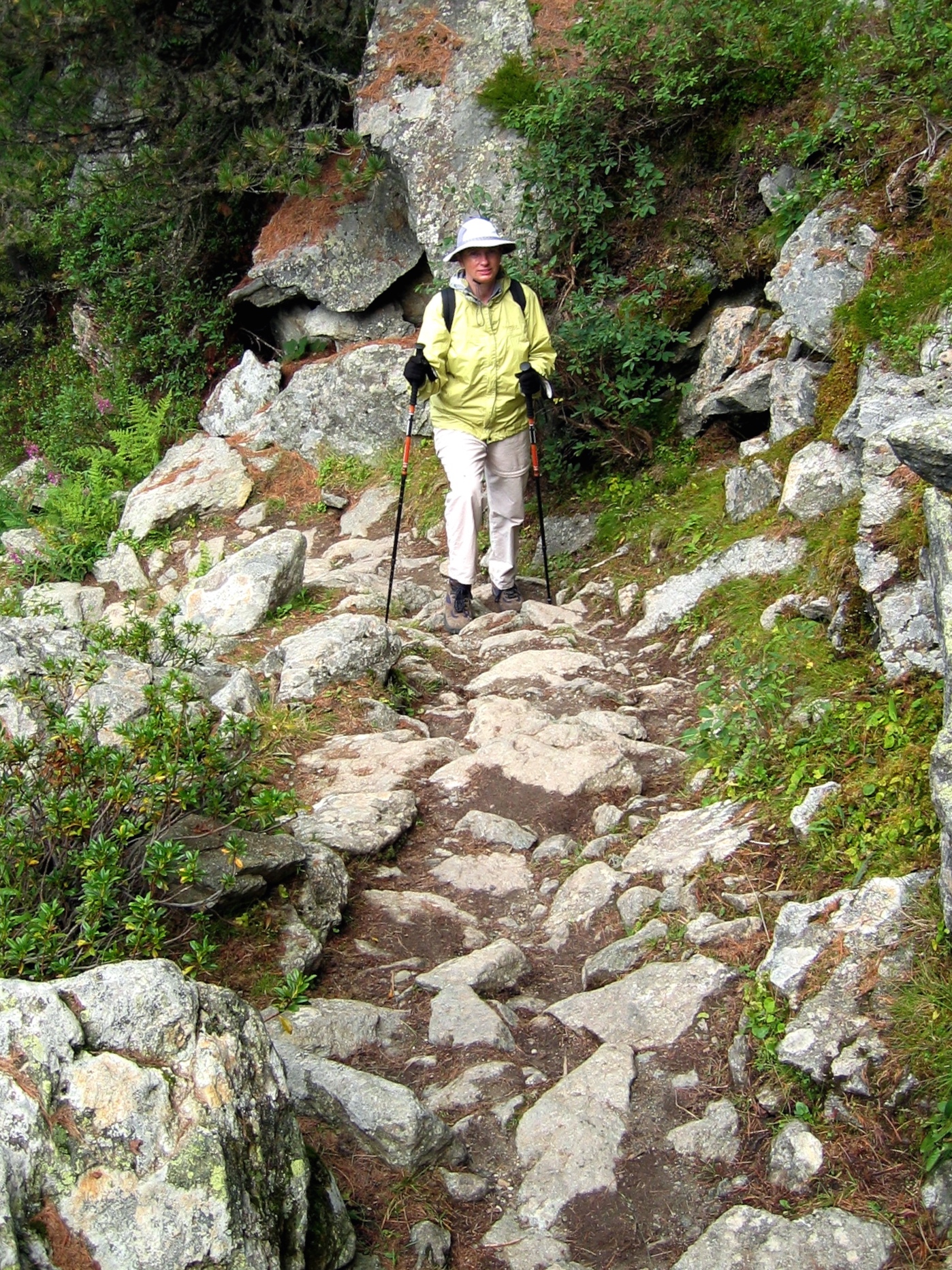
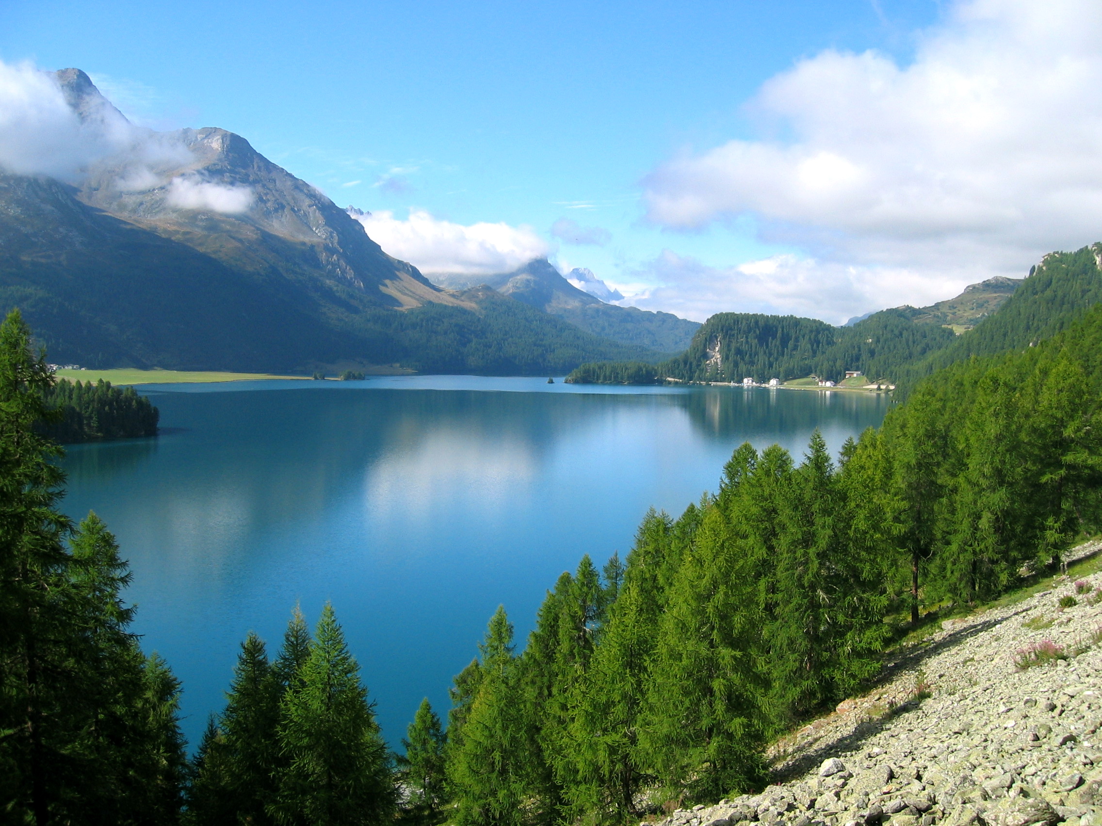
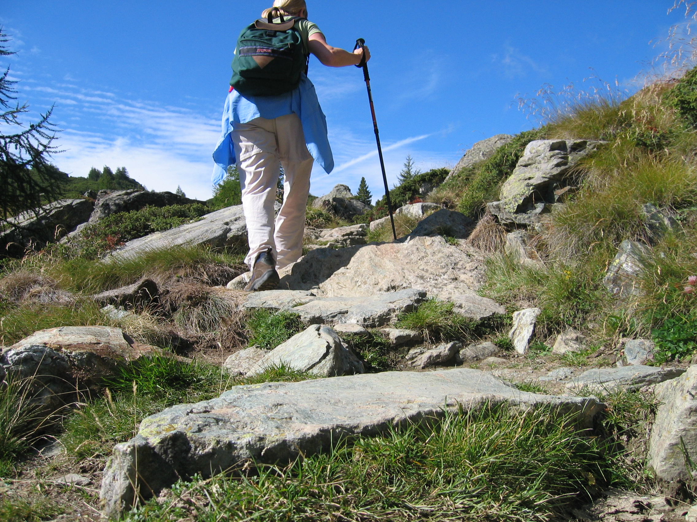
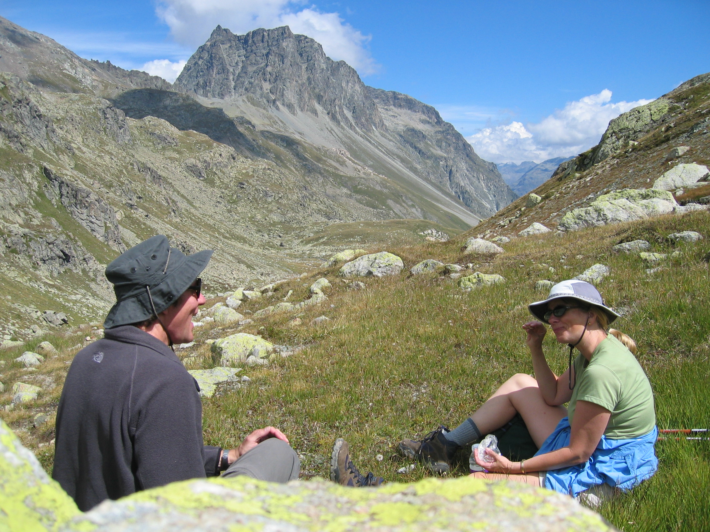
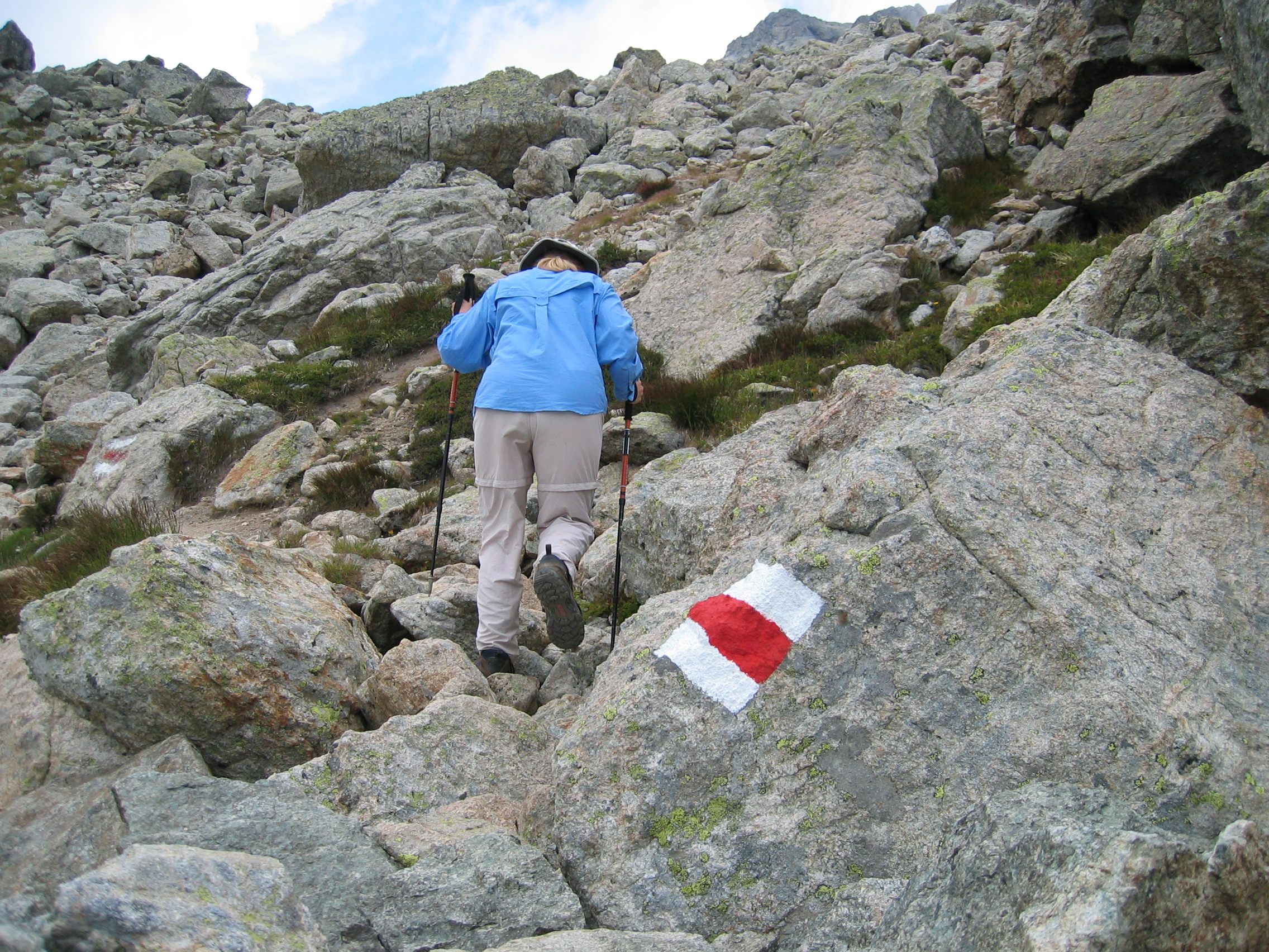
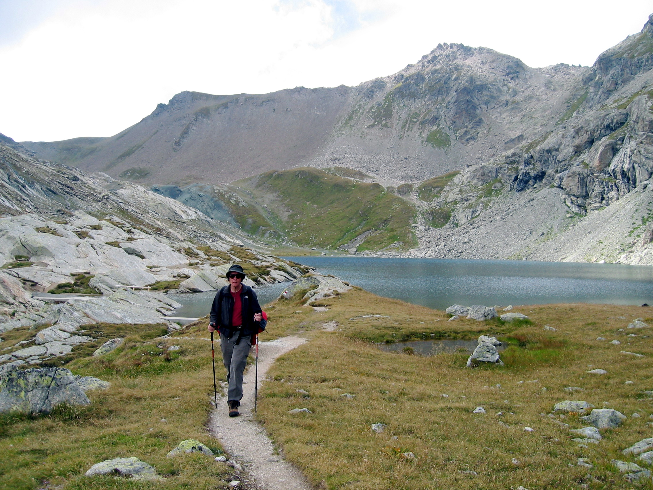
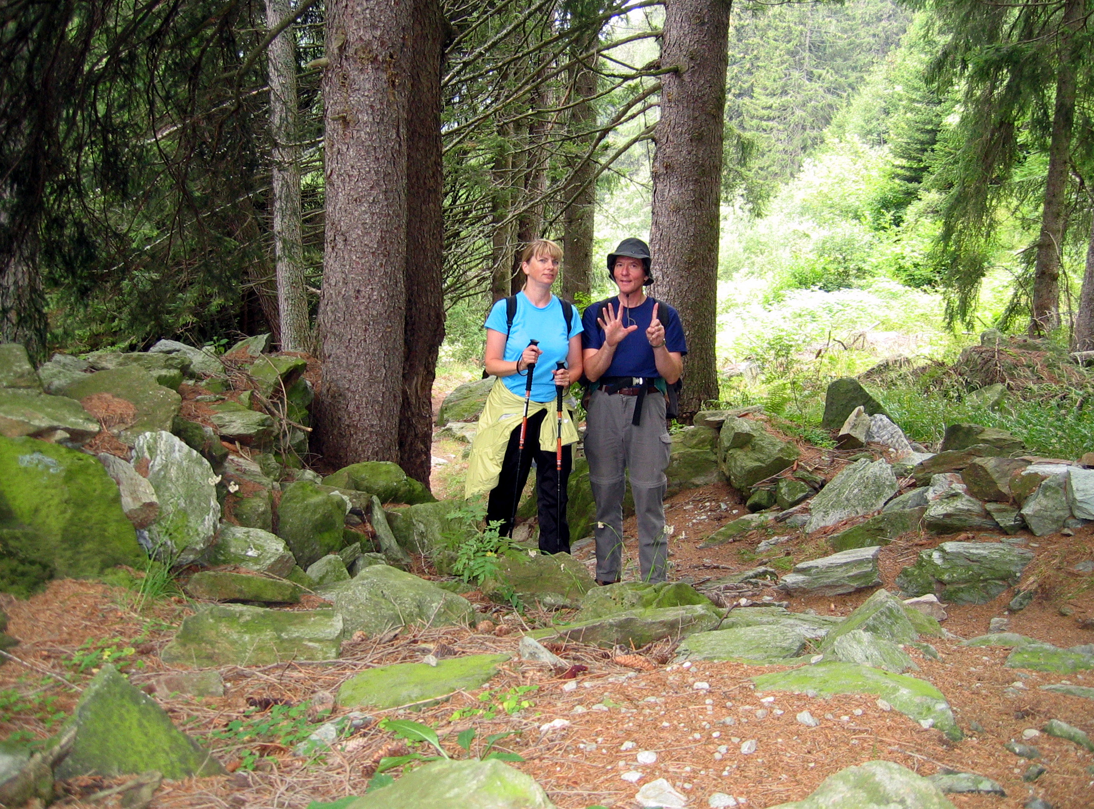
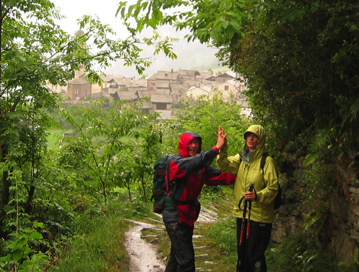
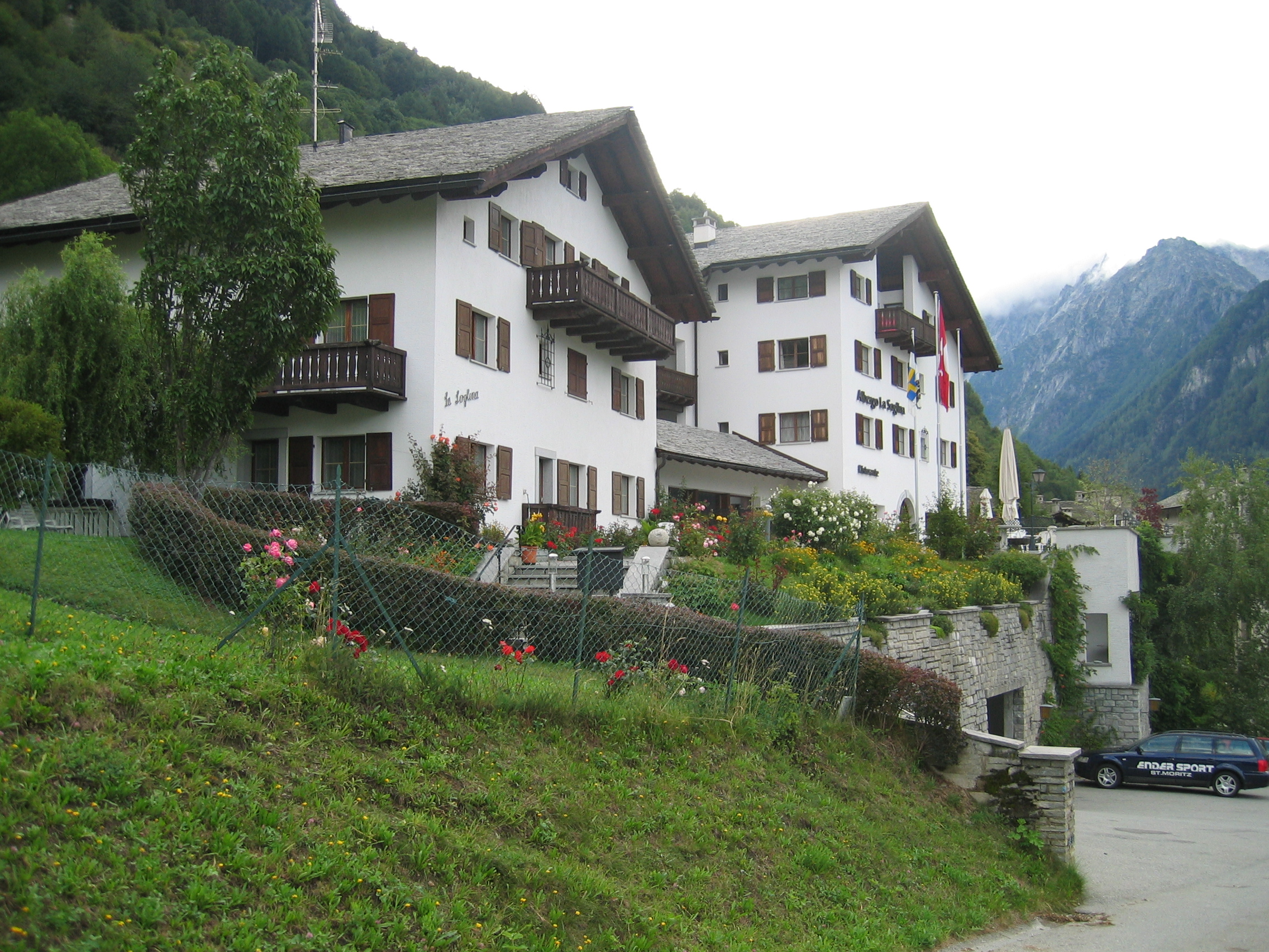
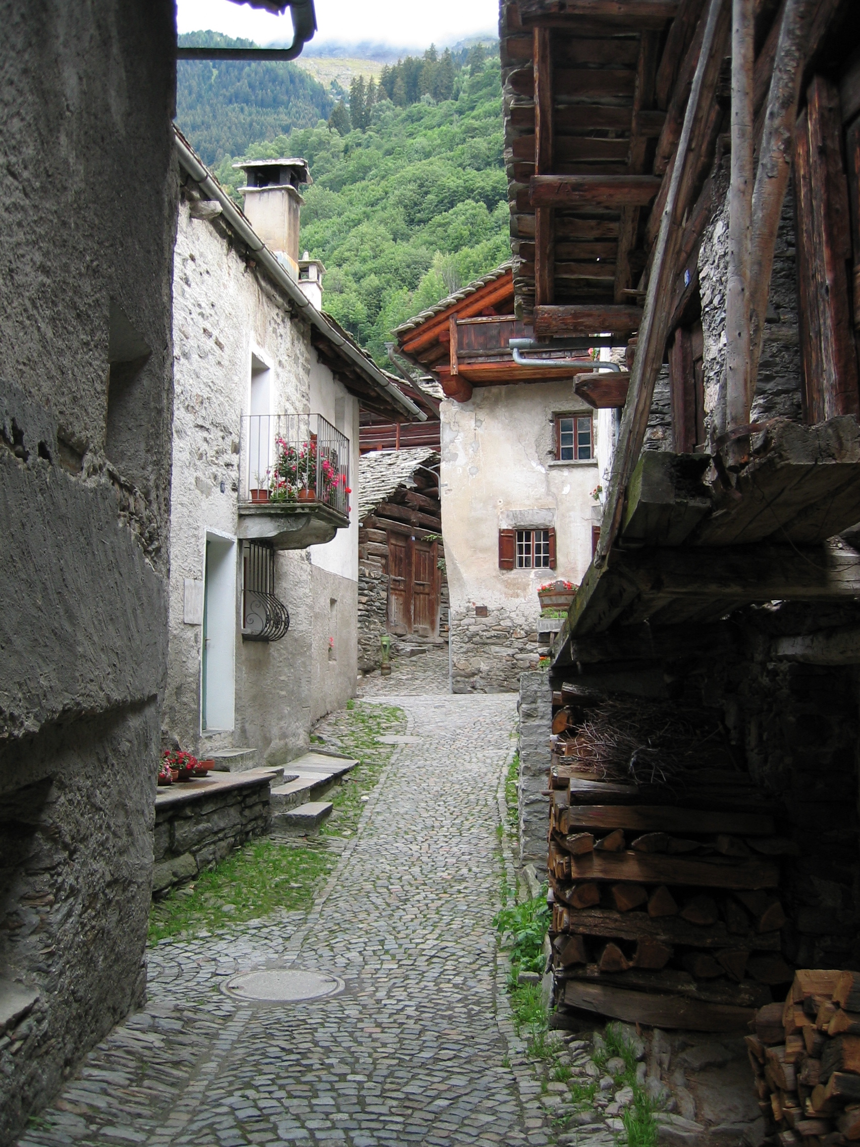
Day 0: Typical street in Scuol. Population 2000.Start of day 1 in Scuol, population 2000. It’s 1250m (4200 feet) above sea level.Day 1: On the trail! At times, the white/red/white trail markers were really helpful.Day 1: Gerd and Ruth having lunch at Alp Laret farm.Day 1. Looking down at Ardez.Day 2 at Guarda. Population 125, elevation 5422 feet. We couldn’t go anywhere because the Inn River is flooding below the clouds.Guarda farm house.Day 3: Guarda train station. We are taking the train to the start of our hike at Punt Muragl.Day 3. Trail from Punt Muragl to Pontresina. The top of the Muottas Muragl ski lift is in the background.Lunch at Segantini Hut (2731m). Notice the white/red/white trail marker on the post.Start of day 4: Hotel Steinbock, Pontresina. Populaton 2200. Elevation 5920 feet.Day 4: Trail to Hahnensee for lunch and then on to Sils Maria.Day 4: Lunch at Hahnensee Bergrestaurant (2153m).Hahnensee – high alpine lake just after we saw a deer off the trail about 40 ft away.Afternoon of day 4: Miles of rocky trail.Start of day 5: Piz Lunghin hike to Lej dal Lunghin. Near Sils Maria. Lake “Lej da Segl” in the background.Day 5: Rocky path on Piz Lunghin hike to Lej dal Lunghin.Day 5: Lunch on Piz Lunghin hike to Lej dal Lunghin. Ham, sliced egg tomato, lettuce, whole grain bread — great sandwich from Gran Cafe Shultz Bäckerei in Sils Maria.Day 5: Piz Lunghin hike to Lej dal Lunghin. It’s good the trail is marked! The lake is just over the ridge.Day 5: Lake Lunghin just before clouds and fog came in. The guide book suggested taking time for a cold swim. Hmmm.Start of day 6: Hike to Soglio. Looks good now but thunder, lightning and lots of rain are ahead.Day 6: End of the hike! Soglio is in the background – population 150, elevation 3600 feet.View from Hotel La Soglina, Soglio.Hotel La Soglina, Soglio. Our room is on the 3rd floor of the right-most building.Typical narrow street in Soglio.
Updated: January 2017 Contact: GerdHoeren at Gmail dot com