September 2004
This is a terrific 40-mile hike around Mt. Hood Oregon, USA. Three of us hiked the loop in three days. We’ll definitely do this again, but take at least four days the next time to stop and enjoy the scenery.
The three of us are in good physical shape and have done lots of hiking in the past. We heard how difficult this hike is and stories of folks who didn’t make it all the way around. We cheated a bit to make sure that this first attempt would be a success: By planning the two campsites close to access roads, we had our wives meet us with tents, sleeping bags and food. Next time we’ll do this in four days and take all the stuff along.
There are lots of opportunities to take wrong turns on this hike. I made a spreadsheet from the Mount Hood Wilderness map, which breaks the trail into short sections. Each section has an approximate time, mileage and things to watch for. This two-sided sheet is easy to check at every branch. Of course, it doesn’t replace the real map.
Here is the list of the things that we brought along. We started with someone Else’s list, which contained the weight of each item, but decided not to be that precise.
There is a lot of good information about Mt. Hood at the US Forest Service web site. The National Weather Service forecast for the Northern Oregon Cascades has the best forecast for Mt. Hood.
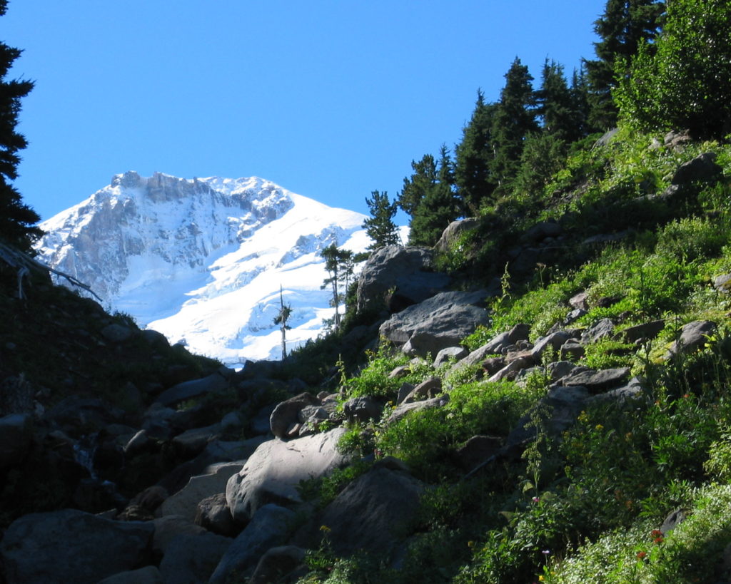
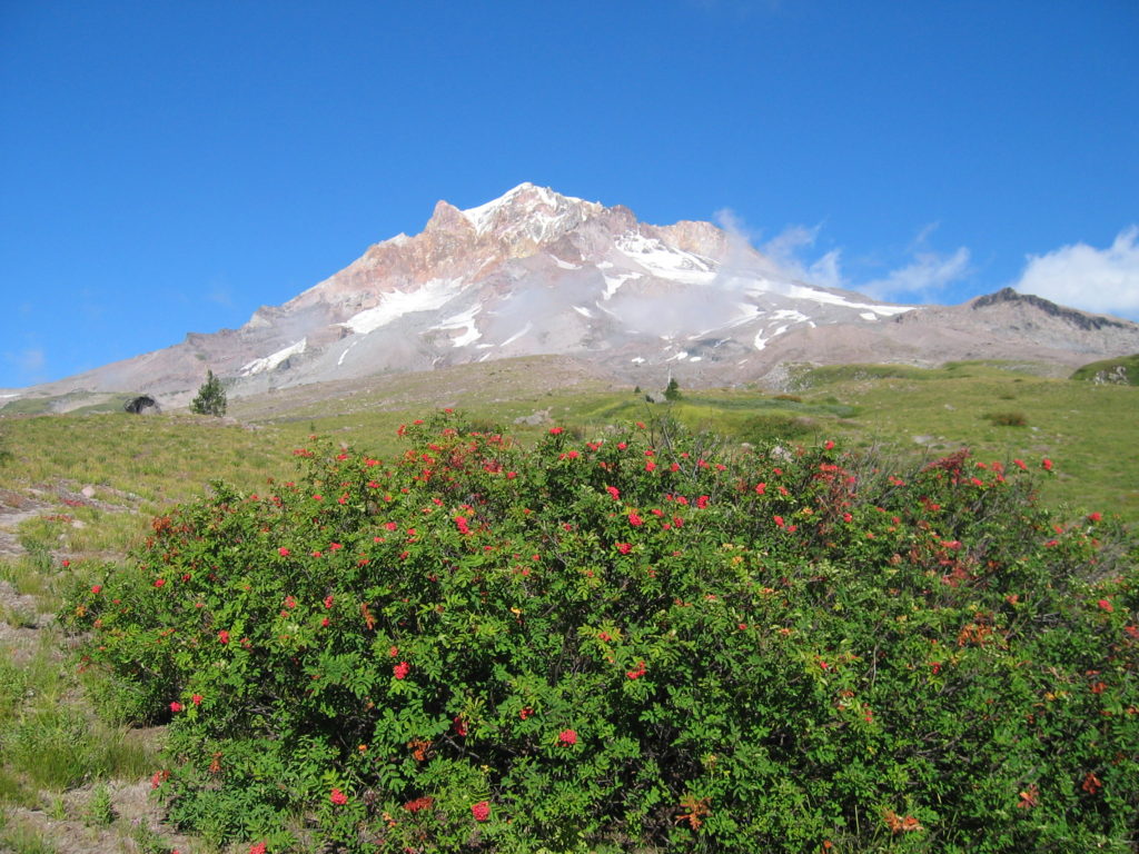
We started at Timberline Lodge and hiked counter-clockwise. Here are some pictures. Click on any to enlarge…
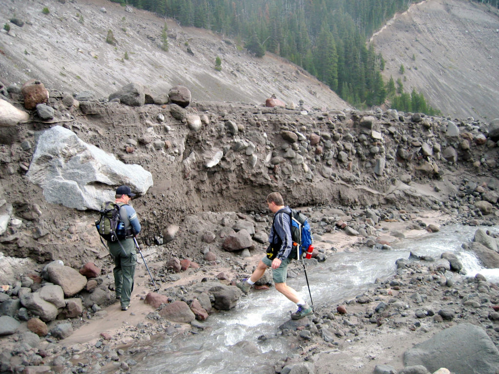 White River crossing: This wasn’t too bad, except for the fact that Ted is about to drop the ski pole into the creek! The trail continues at the low point of the trees in the background.
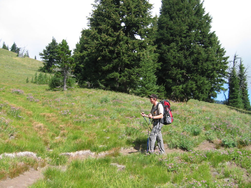 Just before reaching Mt. Hood Meadows.
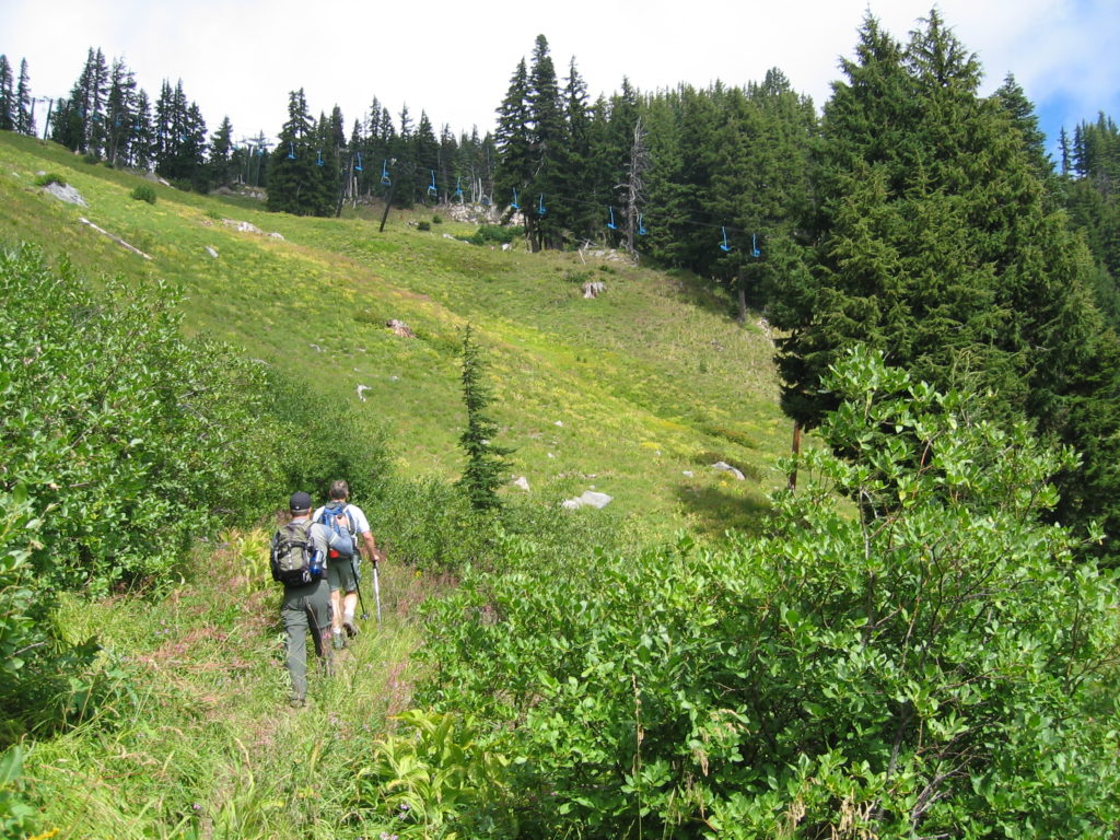 Ted and John at Mt. Hood Meadows. The old ‘Blue’ chairlift is in the background.
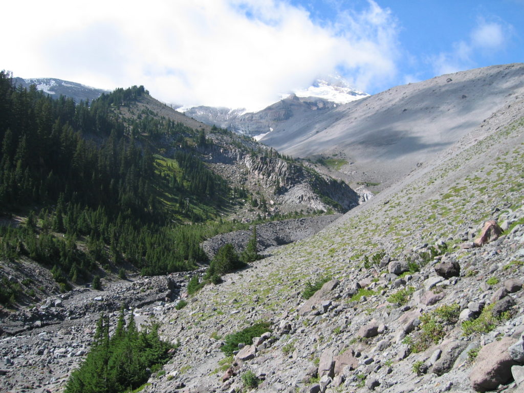 Heather Canyon. I’d only seen it with snow before.
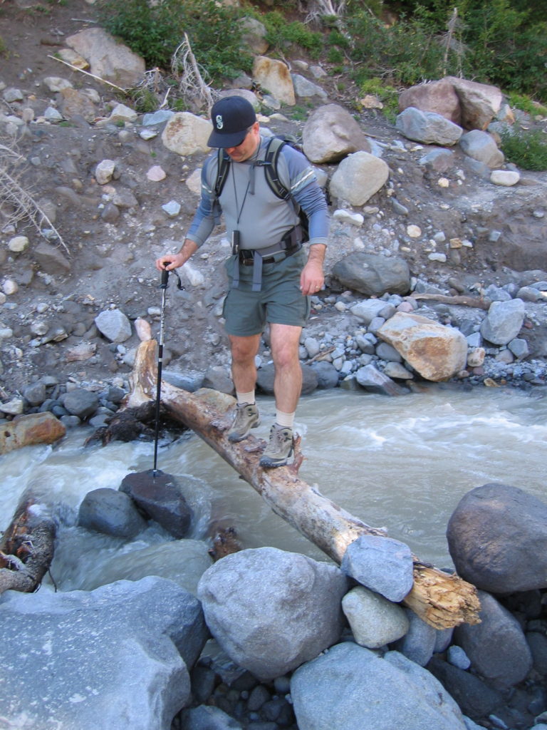 John crossing Newton Creek. We had trouble finding the trail on the far side. We fund it several hundred feet upstream by using John’s GPS as an altimeter and looking the altitude up on the map. The thing was right on!
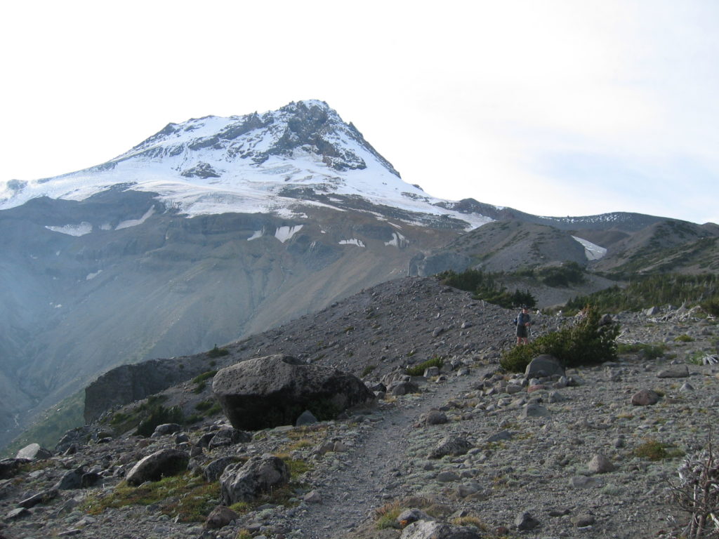 Top of Gnarl Ridge. Tough 2000′ climb. There’s no water on the way up and until Cloud Cap.
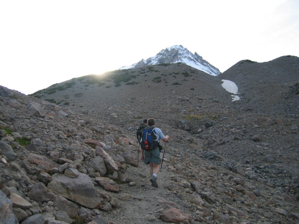 7300′ elevation: highest point on the trail. There was a bit of icy snow on the trail ahead even this late in the season.
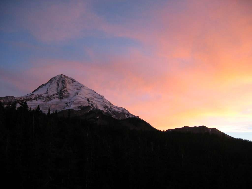 End of day 1: Sunset at Cloud Cap Campground. It has running water and a toilet. The campground can be accessed from Cloud Cap Road, which starts at the Cooper Spur ski area.
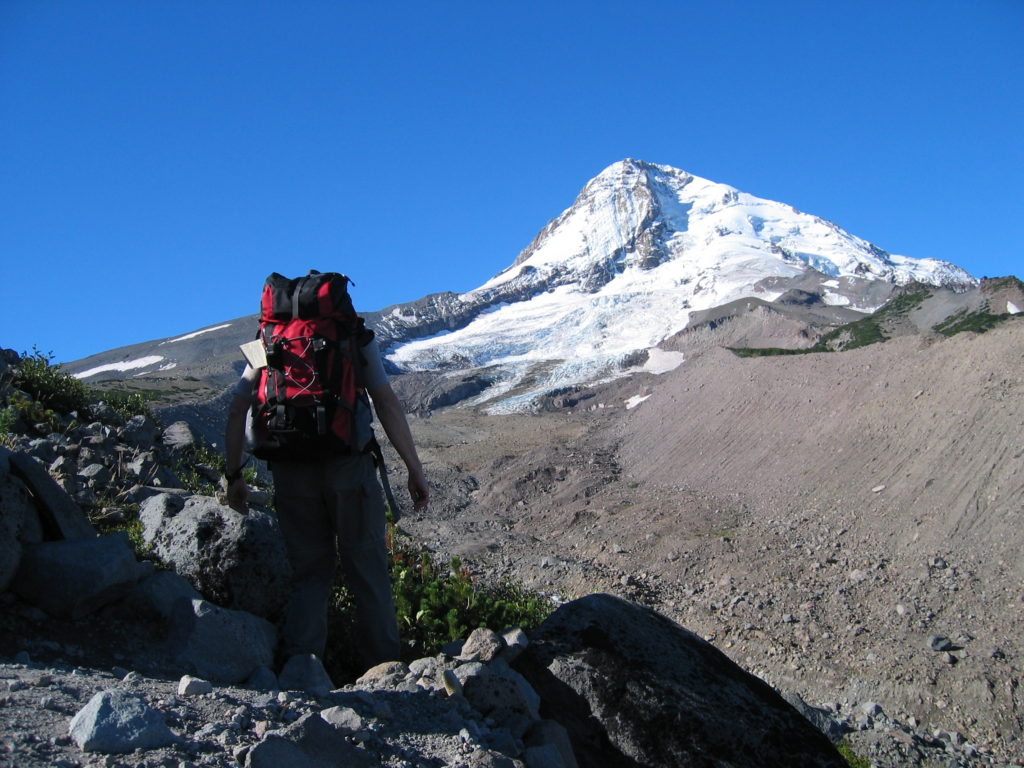 Start of Day 2: Gerd going down to Eliot Creek. See note above.
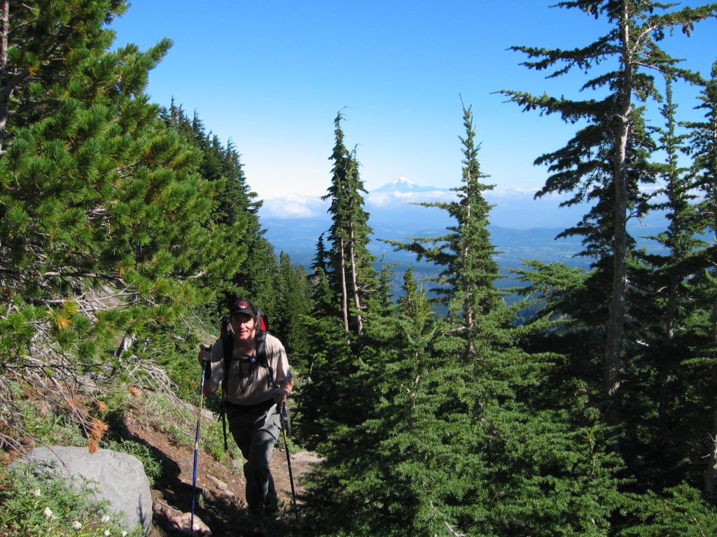 Stranahan Ridge. I think Mt. Adams is in the background.
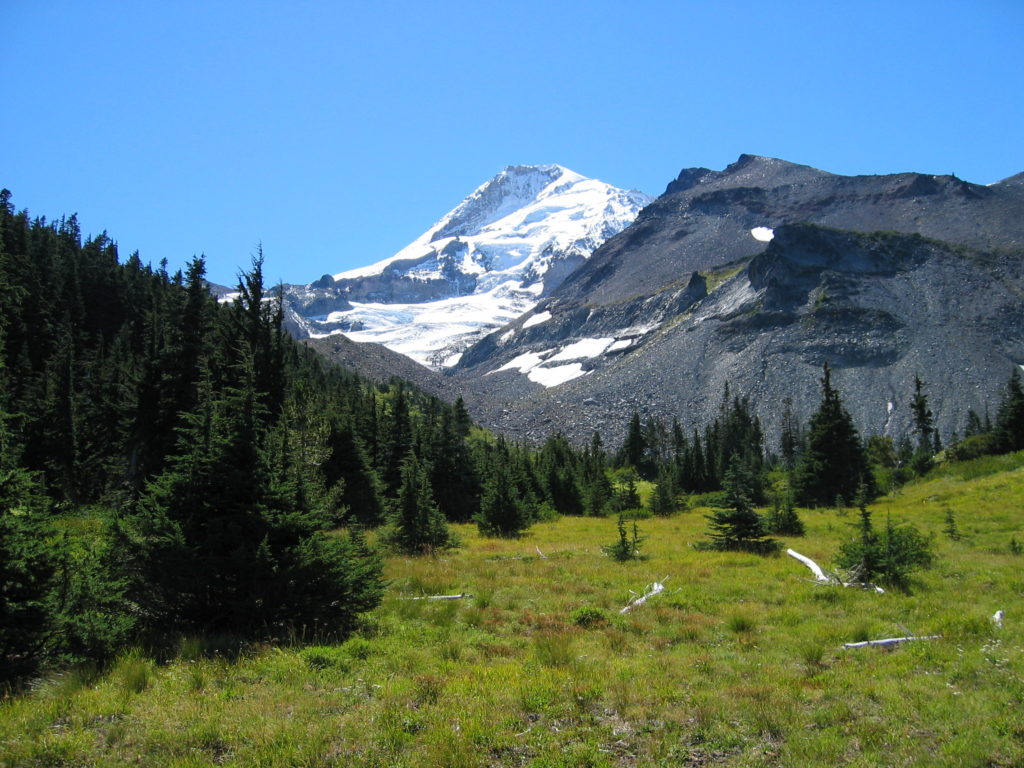 Elk Cove. It looks even better if you’re standing there!
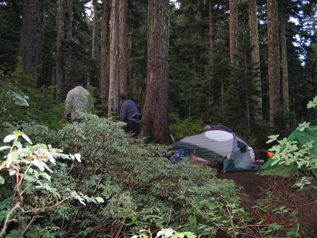 End of day 2. Single campsite at the intersection of the Top Spur, Pacific Crest (PCT) and Timberline trails. Road 118 is 1/2 mile down the Top Spur trail (#784A).
Continuing from here, you have the choice of going on the PCT or Timberline Trail. Be careful because the higher trail is shown as the PCT on my map, but it is now the Timberline Trail (#600). The lower trail used to be #784 and is now the PCT. I’m told this change was made because the PCT is supposed to be horse-friendly and the upper trail presents problems for horses. We chose the PCT to avoid two possibly difficult Muddy River crossings on the Timberline Trail.
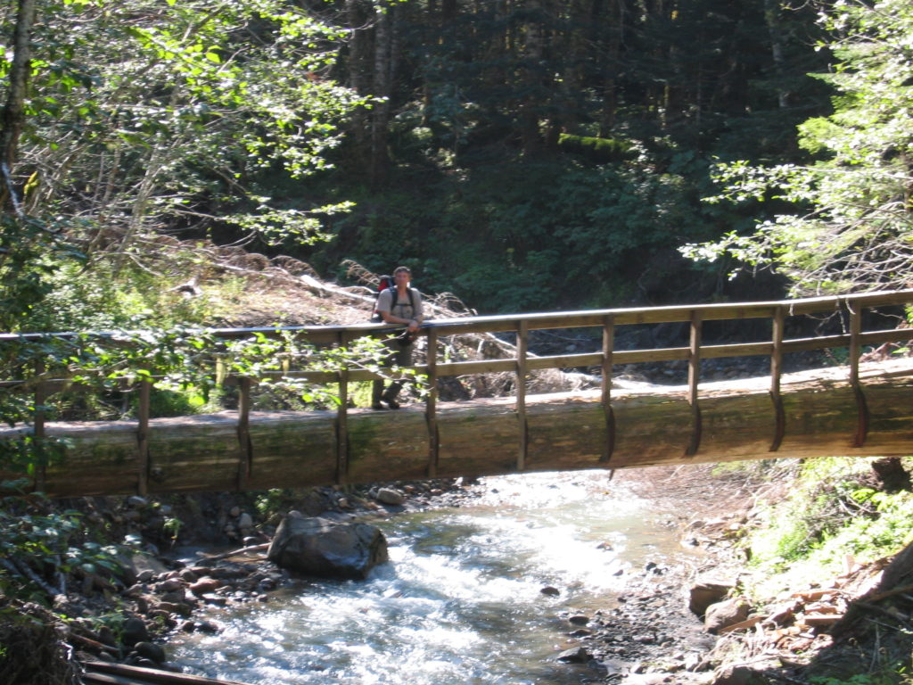 Gerd on the PCT, crossing Muddy Creek. This seems to be a new bridge with a 1/4 mile detour. The old log bridge has been cut into three pieces downstream.
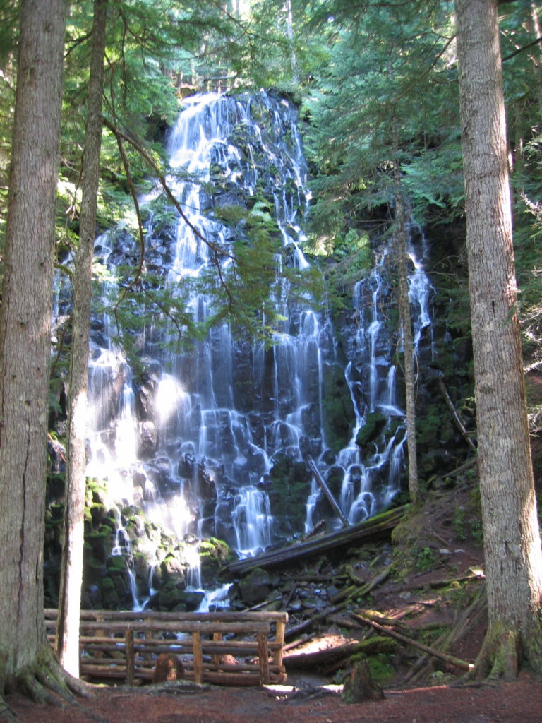 Ramona Falls. Be sure to take trail #797 to see this waterfall instead of staying on the PCT.
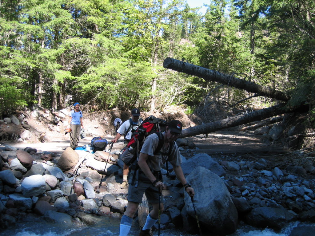 Crossing the Sandy River. Last water for 4.5 miles and there is a 2000’ climb ahead.
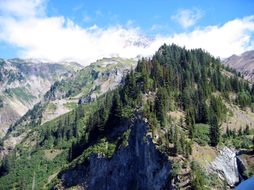 Top of the ridge. The Sandy River canyon is on the left.
We were seriously out of water. The map showed several stream crossings, but they were all dry. (My 2003-vintage Canon camera didn’t do justice to Mt. Hood and the clouds — sorry.)
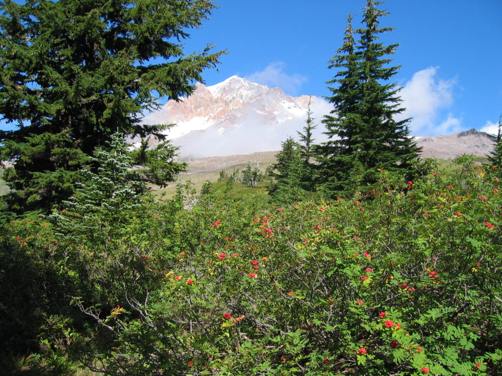 Paradise Park. The photo looks good, but it’s even better in real life.
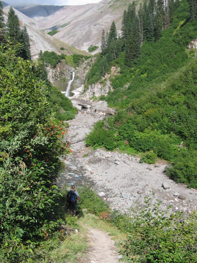 Zigzag River: Four miles west of Timberline Lodge. If you look carefully, you can see the remains of a snow bridge just below the falls.
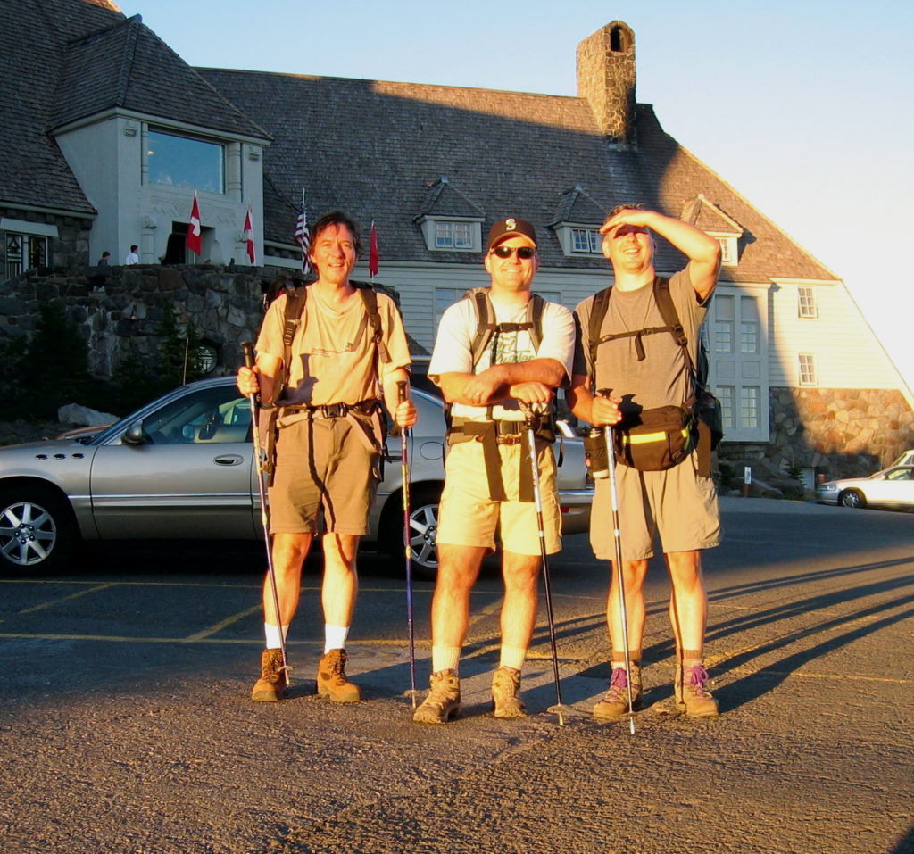 Gerd, Ted and John back at Timberline lodge at the end of the 3rd day (7:30PM).
We are all smiling, but apparently need a shower: Just after we took this picture, someone walked up and asked if we had just completed the whole loop – I don’t know how he would have known!
Updated: January 2017
Contact: GerdHoeren at Gmail dot com

